About
About the Fjord Trail
Seven and a half miles along the eastern shore of the Hudson, walkable, bikeable and designed to be accessible — under construction now, complete in 2031.
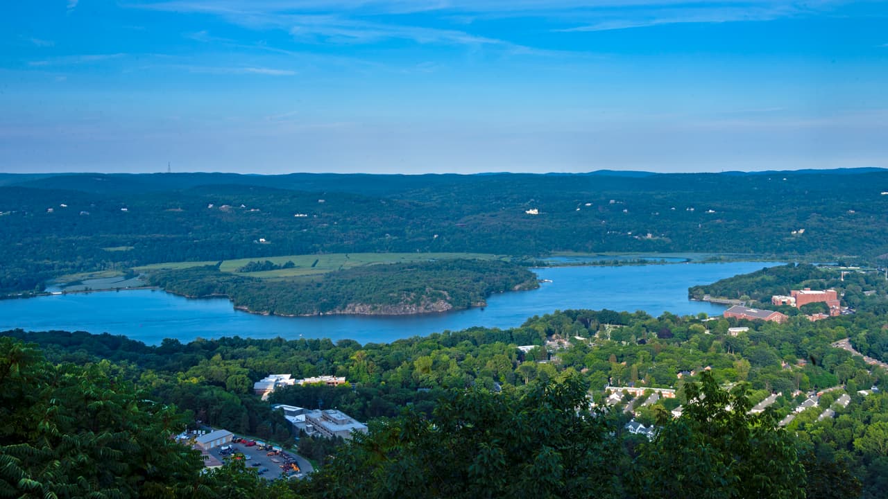
Constitution Island and the northern West Point campus, at the southern gateway to the Highlands. · Daniel Case, via Wikimedia Commons
The Hudson Highlands Fjord Trail is a linear park being built to span 7.5 walkable, bikeable, accessible miles between the City of Beacon and the Village of Cold Spring, weaving between the Hudson River and the Highlands.
It exists for two reasons that pull in the same direction. The first is access: the most spectacular stretch of the lower Hudson is currently reachable on foot only by climbing it, and the trail is being designed so that a person using a wheelchair, pushing a buggy or recovering from surgery can get to the river as easily as a hiker can. The second is pressure. On a fine autumn weekend the trailheads along Route 9D overflow, cars line the highway shoulder, and people walk in the traffic lane to reach a mountain path that was never built for those numbers. The Fjord Trail is the deliberate route through that problem.
- Main trail
- 7.5 mi Beacon to Cold Spring Source: FGEIS Ch. II
- Trail in total
- 12.5 mi Including 2.8 mi of meanders and 2.2 mi of connectors Source: FGEIS Ch. II
- Typical main trail width
- 10–14 ft 36 in minimum anywhere Source: HHFT design intent
- Design grade for most of the main trail
- ≤5% Not yet verified on the ground Source: HHFT design intent
- Main entry points
- 6 Plus two secondary Source: FGEIS Ch. II
- To use
- Free Parking is expected to carry a fee Source: FGEIS Ch. II
Where it runs
North to south the trail passes through four municipalities: about 1.75 miles in the City of Beacon, 3.75 miles in the Town of Fishkill, 1.5 miles in the Town of Philipstown and half a mile in the Village of Cold Spring. Roughly 2.5 miles of the main trail — and about 6 miles of all trail components — lie inside Hudson Highlands State Park Preserve, which is New York State parkland that HHFT does not operate.
The southern portion, from the Breakneck Connector down to Dockside Park, is about two miles long, of which roughly 1.5 miles sit within the Metro-North right of way. Two non-contiguous elevated structures, each about half a mile, carry it over the Hudson shoreline; the rest is on grade.
See the trail section by section
What it will include
Once constructed and operational: restrooms at each entry point, an accessible shuttle, a Visitor Center at Dutchess Manor, educational programming, interpretive signage, and off-road paid parking at several of the entries. Six main trailhead entries, three of them close to Metro-North Hudson Line stations.
None of that exists today, and this website is careful throughout about the difference between what is built, what is funded and what is drawn.
Where the project stands
The Final Generic Environmental Impact Statement was accepted by New York State Parks as lead agency on 7 January 2026, and the Findings Statement followed. Construction of the Breakneck Connector and Bridge has been under way since 2023. Phase 1 — the Connector and the Visitor Center at Dutchess Manor — is slated for summer 2027. Full completion is slated for 2031. As of May 2026 the environmental review is the subject of active litigation.
Last reviewed